Geophysical Surveys

Our geophysical surveys are designed to provide detailed insights into subsurface conditions, essential for informed decision-making in construction, resource exploration, and environmental assessments. Our services include:
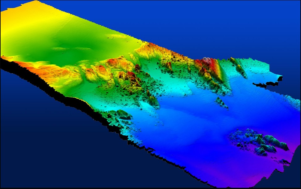
Seafloor Mapping: Utilizing advanced sonar technologies, such as single-beam and multibeam echosounders, we generate high-resolution maps of the seafloor, identifying topographical features and potential obstacles.
Sub-Bottom Profiling: Employing tools like boomers, sparkers, and chirp systems, we image the sediment layers beneath the seabed, offering valuable data on stratigraphy and sediment composition.
Side-Scan Sonar Imaging: We produce detailed images of the seafloor using side-scan sonar, aiding in the detection of submerged objects and assessment of seabed conditions.
These methodologies ensure a comprehensive understanding of subsurface environments, facilitating the planning and execution of marine and terrestrial projects.

